Who we are
MapAbility is a not for profit organization collecting geo-information for urban accessibility. Our volunteers collect data on accessibile services, streets, sidewalks, parking, and points of interest (resturants, museums, etc.). We collect information on architectural barriers as well. The final result is a map that allows users to visit a city, as a tourist, with the special needs for every type of user: wheelchair, parents, elderly.
La nostra storia
Mapability was founded in 2011. In 2012 we classify second at the Global Social Venture Competition, at the University of Berkeley, California. In 2013 we qualify second at the Accenture Foundation competition for projects destined to sustainable tourism. The project presented is the starting point of a new initiative that involves other associations, municipalities, organizations and research institutes. Find out more by navigating our website.
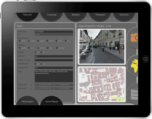
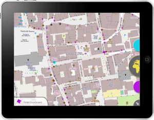
 Mapability unisce le forze al progetto della Fondazione GraphiTech, denominato i-SCOPE, un progetto finanziato dalla Comunità Europea per lo sviluppo di soluzioni informatiche che consentano l’analisi e l’acquisizione di dati. L’applicazione è disponibile su Apple iPad e in versione beta per tutti i dispostivi Android e consente di inserire informazioni sui tratti di strada accessibili identificando numerosi parametri dell’accessibilità architettonica. Da Settembre 2014 Mapability si affida al modello dati sviluppato da Graphitec per unire gli sforzi e realizzare la più importante iniziativa italiana ed europea di rilevazione dell’accessibilità.